Presentations (Powerpoint) from Hanzhong May 2007 Symposium (as PDF Files)
|
|
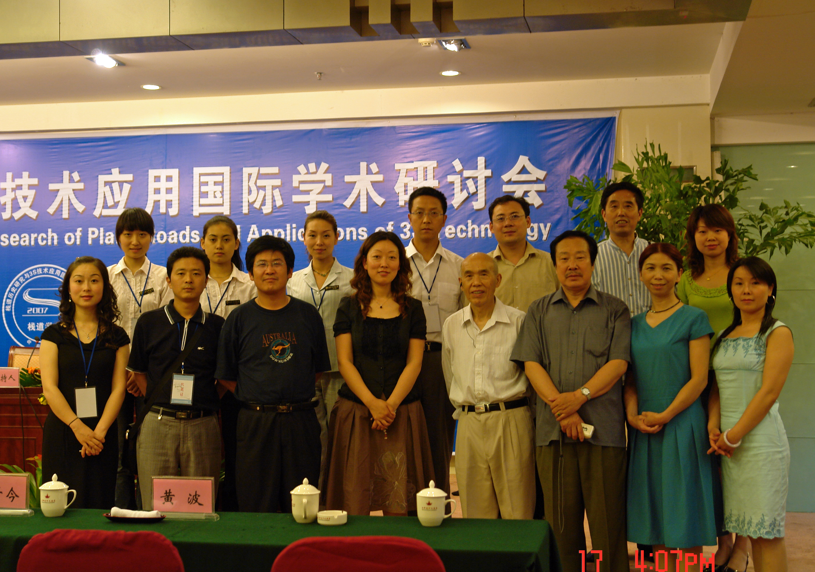
Staff from the Hanzhong Museum at the end of weeks of hard work!
Publication details for the Collected Papers of the Proceedings of the Symposium
ACC Project Papers from the Symposium Proceedings (published August 2008)
|
David Jupp, Brian Lees, Li Rui and Feng Suiping (2007) |
|
|
[澳]贾大卫李布朗 [中]李锐 冯岁平 (2007) |
(It is best to “right click” and select “save Target as” to download rather than open)
PRESENTATIONS
To access the presentations click on the highlighted “PDF” column image size
(Recommended you “right click” on the PDF size and save to disk)
|
Presenter
|
Affiliation |
Title
|
|
|
David Jupp 贾大卫 |
Australia-China Project 澳中理事会项目 |
Setting a framework of a map and information base for the Shu roads of the Qinling and Bashan mountain ranges. 建立秦巴山区蜀道的地图和信息库的框架 |
|
|
Ruth Mostern 马瑞斯 |
University of California, Merced 加里弗尼亚大学社科人文艺术学院 |
The Qinling Frontier and the Creation of Imperial Space in Western China. 秦岭边境和古代中国西部国土的开辟 |
|
|
Christopher Carter 克里斯托弗·卡特
|
Contract archaeologist, Canberra, Australia 澳大利亚堪培拉签约考古学家。 |
Tourism and the Inca Trails. 旅游和印加古道 |
|
|
Brian Lees 李布朗 |
School of Physical, Environmental & Mathematical Sciences, University of New South Wales at Australian Defence Force Academy, Canberra, Australia. 澳大利亚堪培拉新南威尔士大学驻澳大利亚国防学院分校物理环境数学科学学院 |
The language and grammar of maps. 地图的语言和规则 |
|
|
Zhou Tianyin 周天穎 |
Director of GIS Research Center, Fengjia University, Taiwan 逢甲大学地理信息系统研究中心 |
Using Multi-Scale Spatial Data in Environment Monitoring and Management. 利用多尺度环境空间信息进行环境监测与管理 |
|
|
Alan Kwok Lun Cheung (Zhang Guolun) 张国伦 |
School of Geography, Geology and Environmental Science, University of Auckland 奥克兰大学地质学和环境科学系地理学院 |
Reconstructing historical sites using a web-based PPGIS Approach. 利用PPGIS实现考察地点的重组 |
|
|
Andrew Wilson 安德鲁·威尔逊
|
Sydney University Archaeological Computing Laboratory, Australia 澳大利亚悉尼大学考古计算实验室
|
Collection, storage and presentation of 3S data: some examples from the Sydney University Archaeological Computing Laboratory. 3S数据的收集、保存和显示--悉尼大学考古计算实验室研究项目实例 |
|
|
Guo Rongzhang 郭荣章 |
Hanzhong Museum, Shaanxi Province 陕西汉中市博物馆 |
Discussion of questions arising from changes to the route of Baoxie Road. 再论褒斜道改道的有关问题 |
|
|
Feng Suiping 冯岁平 |
Hanzhong Museum, Shaanxi Province 陕西汉中市博物馆 |
A rare Qing Dynasty picture scroll of the Lianyun plank road-- On DANG Juyi and his painting "Yunzhantu". 稀见的一幅清代连云栈道图卷——清党居易及其《云栈图》 |
|
|
Wang Zijin 王子今 |
Beijing Normal University 北京师大历史系 |
Inferences on the structural form and transportation capability of the Lanqiao River’s plank road on the Wuguan route. 武关道蓝桥河栈道形制及设计通行能力的推想 |